Setting the output file type to "Garmin MapSource PCX5" causes WiMap to create a file with the extension .wpt, which should be readable using the "Import" function of Garmin's MapSource tool.
Because each access point located will be created as a waypoint, and because each waypoint in a Garmin system must have a unique name, the plotted points are named with six-digit numbers rather than the SSID. However, the optionally selected information elements (channel number, SSID, MAC address) are placed in the "Comment" field of each waypoint. If you wish to display the comment information on the map, you will need to edit each created waypoint separately and change its display option from "Symbol + Name" to "Symbol + Comment".
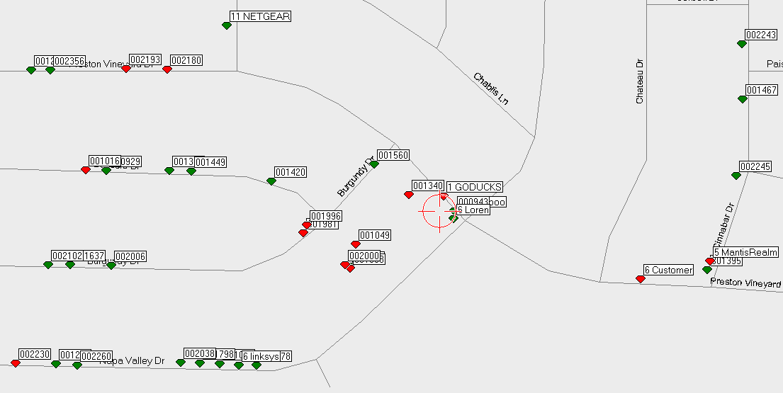
As with newer version of Delorme Street Atlas, there's no direct control over color or size of symbol, so our coding of points is limited to "Diamond, Red" for WEP enabled and "Diamond, Green" for non-WEP APs.
Here is a typical map display; some of the APs have been changed to display channel number and SSID.
15-Nov-2004 13:51